Empire Central and Its Fabulous Empire Club
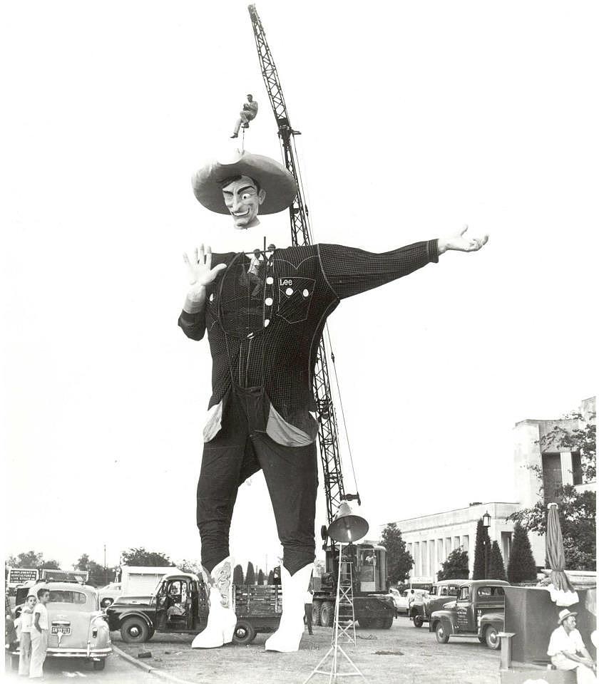
 “Northwest Dallas” in 1959 — how quaint… (click for larger image)
by Paula Bosse
“Empire Central.”
I have to admit that I’d never heard of anyplace in Dallas called Empire Central, but because I wanted to post the picture above (which I love) (and which is from a 1959 ad), I felt I should at least look into finding out what and where it was and broaden my horizons a bit. So I did. It was (is?) an “office community” built in 1958 on 90 acres of land (later expanded), located in the “V” between Hwy. 77 (soon to be Stemmons Freeway) and Hwy. 183 (aka Empire Freeway, soon to be John W. Carpenter Freeway), with W. Mockingbird on the south and Dividend Drive on the north(-ish). It was developed as an office park as part of the already existing 1,200-acre Brook Hollow Industrial District (which, when its development began in 1953, was beyond the city limits) — both areas were developed by Windsor Properties. Empire Central was announced in 1957.
Unsurprisingly, almost every early newspaper story about plans for the new district mentioned what was considered to be its sexiest, most novel attraction: the Empire Club, an on-site dining and recreation club for employees — executives and underlings alike — who worked in the “community’s” office buildings. It was a round, 45,000-square-foot structure that sat on 9 acres and featured a distinctive roof which utilized 24 tamarack logs “more than 100 feet long, imported here especially for the club from the virgin forests of Washington” (DMN, Nov. 24, 1957). Its amenities included a sunken garden, a terraced dining room, lounge, swimming pool, putting green, and shuffleboard court, all nestled in a “garden-like atmosphere.” What a great perk!
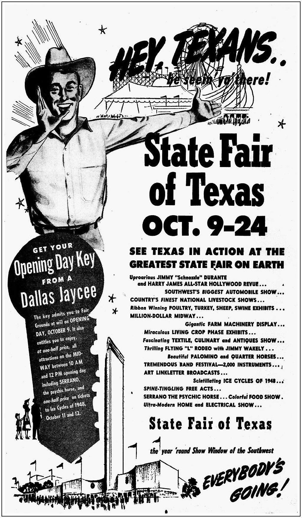
The club was important in the conceptualization of the office park, as the developers insisted that a happy employee was a productive employee, as can be seen in the text from a 1959 advertisement which ran the week the club opened:
Two fundamental concepts were taken into consideration by Windsor Properties, Inc., in designing Empire Central.
First was the realization that the company able to attract the most capable employees at a given wage would be most successful. Second, the urbanization of our population has created the need for a measure of community life.
The Empire Club, as the heart of Empire Central, is designed to accomplish both objectives for management.
And that club looked cool. It was a cutting-edge design from the always impressive George Dahl, one of Dallas’ top architects. (Dahl worked on several other projects with W. C. Windsor — Sr. and Jr. — including a prison (?!) and several other buildings in the Empire Central District.) Dahl’s previous big round building — Memorial Auditorium/Dallas Convention Center — had opened in 1957, just months before construction began on this unusual and sophisticated clubhouse, something one would certainly not expect to find plonked down in the middle of such prosaic surroundings.


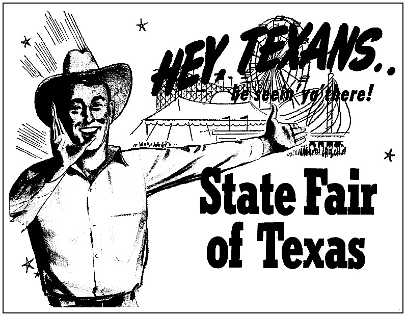
Below, the full ad, which appeared the week the new Empire Club opened in October, 1959 (click to see larger image):

Oct., 1959
At some point (or maybe always) the club began to be used by outside groups. In the ’60s, it was the site of a lot of Junior League and debutante activities and dances. In 1966 the Empire Club became The Round House restaurant (in which could be found the Fatted Calf club). The last listing I could find of a restaurant or club at that address (which was, originally, 100 Empire Central Drive and, later, 1100 Empire Central Place) was in 1971. Sadly, that cool-looking building was torn down somewhere along the way. What a shame! I just discover a George Dahl-designed building I’d never seen — in a part of town I’d never heard of — and *poof*! … it’s gone. …At least I didn’t have time to get too attached.
**
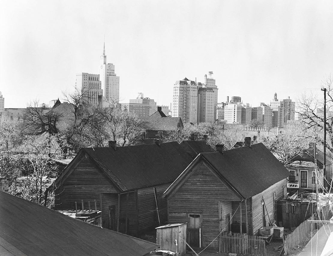
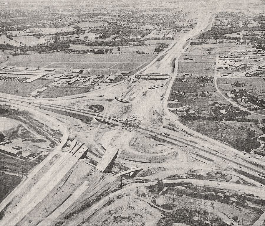
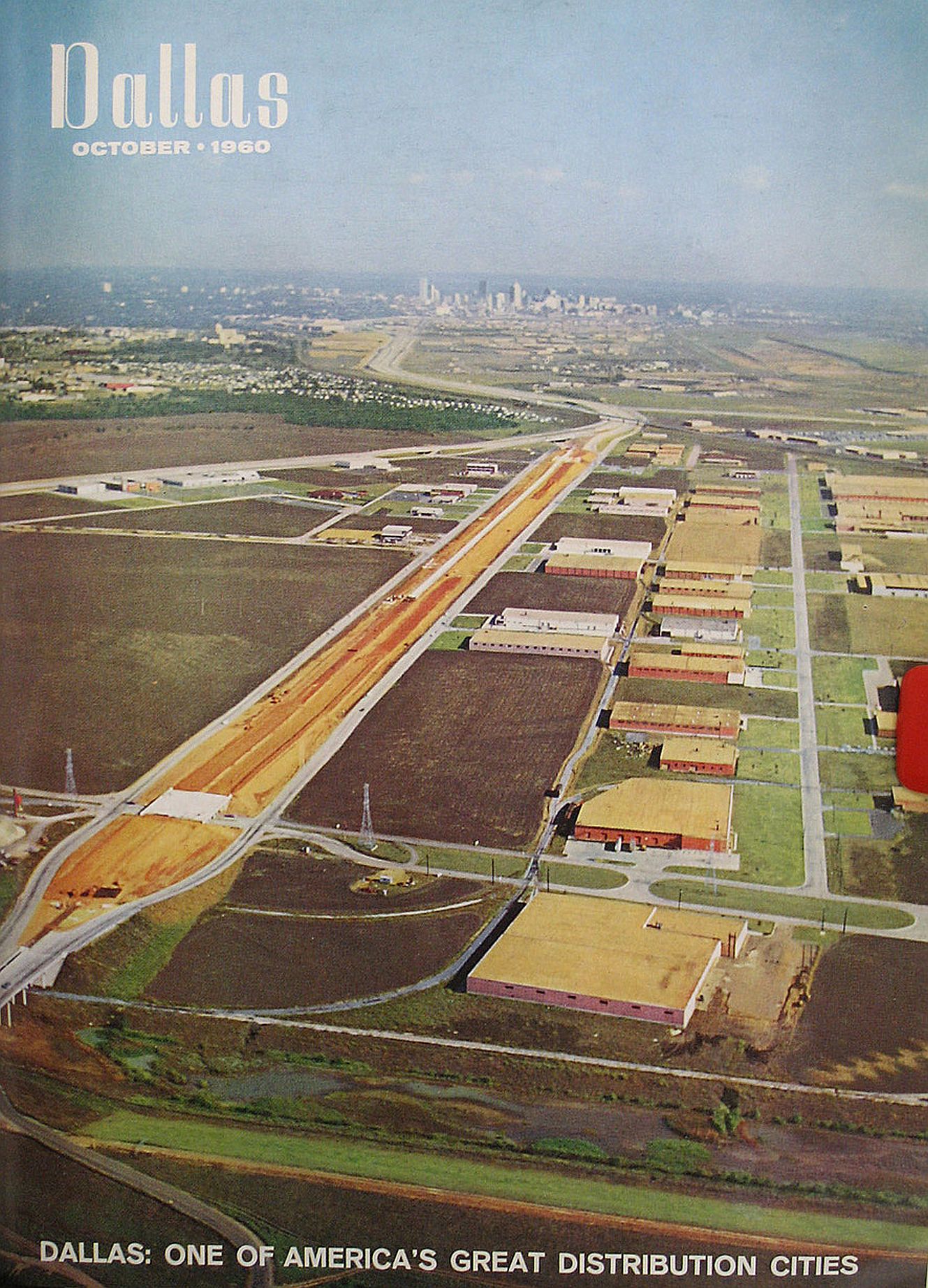
Here’s a great photo from 1960 (click it — it’s really big) looking southeast toward downtown from about Regal Row (bridge in foreground), with the new and improved Carpenter Freeway/Hwy. 183 in the center, and Stemmons — coming in from the left — meeting it in the distance; the Mockingbird bridge is just beyond it, just above the point. The Empire Central district — in between Stemmons and Carpenter — looks kind of puny here. You might have to squint, but you can see the brown, round Empire Club building in the center of the triangle. If you listen closely, you might be able to hear a Southwestern Drug Company secretary splashing happily in the heated pool.
*

1958 ad
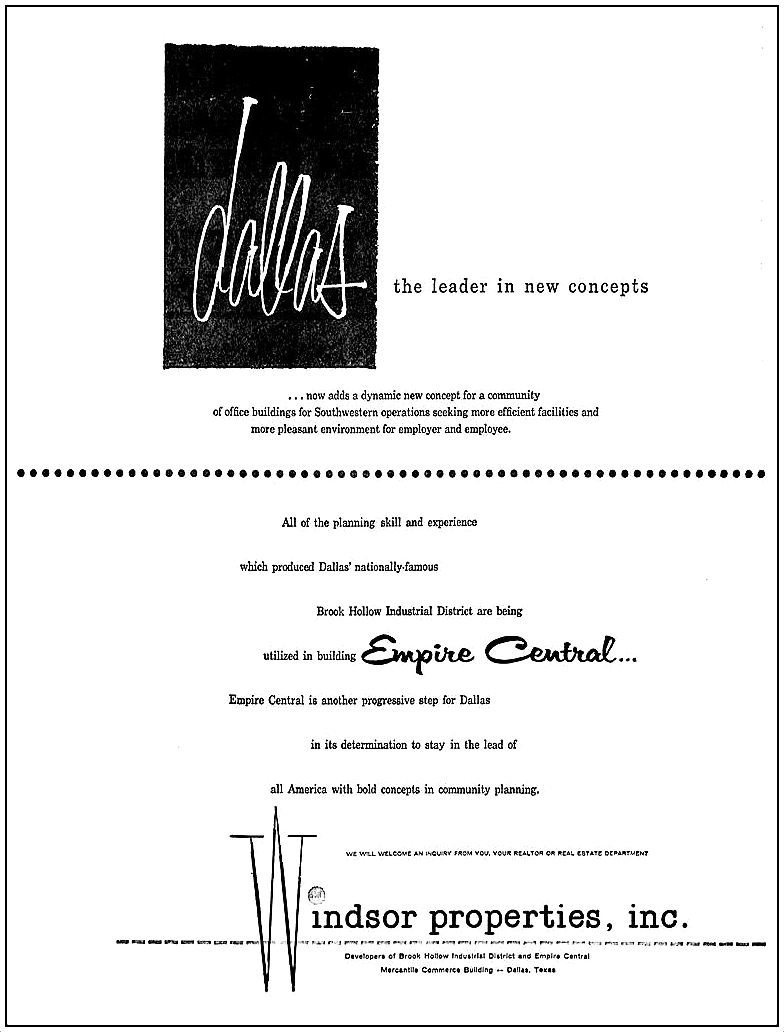
Jan., 1958
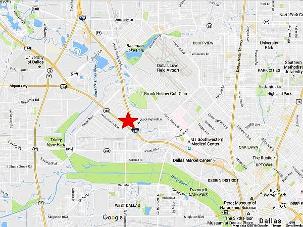
Google Maps
***
Sources & Notes
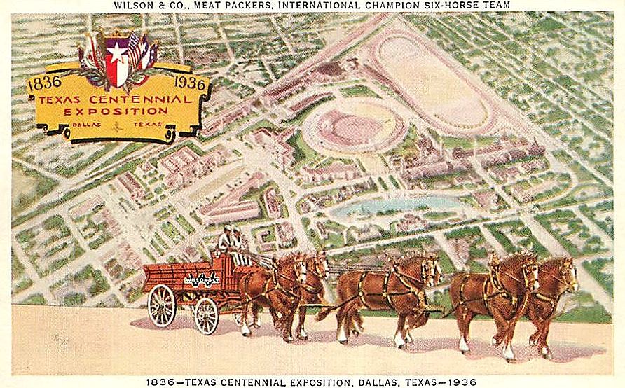
Top image is from a full-page magazine ad from 1958, found on eBay.
The 1960 photo appeared on the cover of Dallas magazine (October, 1960); I found it on the unbelievably thorough Dallas-Fort Worth Freeways site (main page is here, this photo is linked from here).
This area — what is it called? The consensus seems to be “Brook Hollow.” Or maybe “Stemmons Corridor” (the Wikipedia entry for the latter is here).
The Flashback Dallas post on the area’s 1920s-era namesake golf club — “Brook Hollow Country Club — 1940s” — is here.
(Thank you, Dallas History Facebook group for the helpful tidbits!)
Think it should be bigger? Click it!
*
Copyright © 2016 Paula Bosse. All Rights Reserved.