
Early Aerial View of the SMU Campus
by Paula Bosse
 Wide open… (click for much larger view)
by Paula Bosse
Does anyone else fear the SMU campus is getting a little crowded these days? Here’s what it looked like back when there was still plenty of room to stretch out.
This photo is in the SMU archives, accompanied by this description:
Pictured is an aerial view of campus from the southeast. At the bottom is Mockingbird Lane; on the right is Airline Road; at the top is Daniel Avenue; and on the left is Hillcrest Avenue. Situated in the middle of fields is a water tower, Dallas Hall, Atkins Hall, Rankin Hall, North Hall, South Hall, the Women’s Gymnasium, Armstrong Field, and the Morrison-Bell Track.
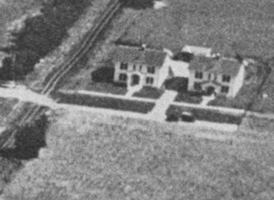
What is the huge hacienda at Hillcrest and Daniel (below)? Is that the Daniel family home?
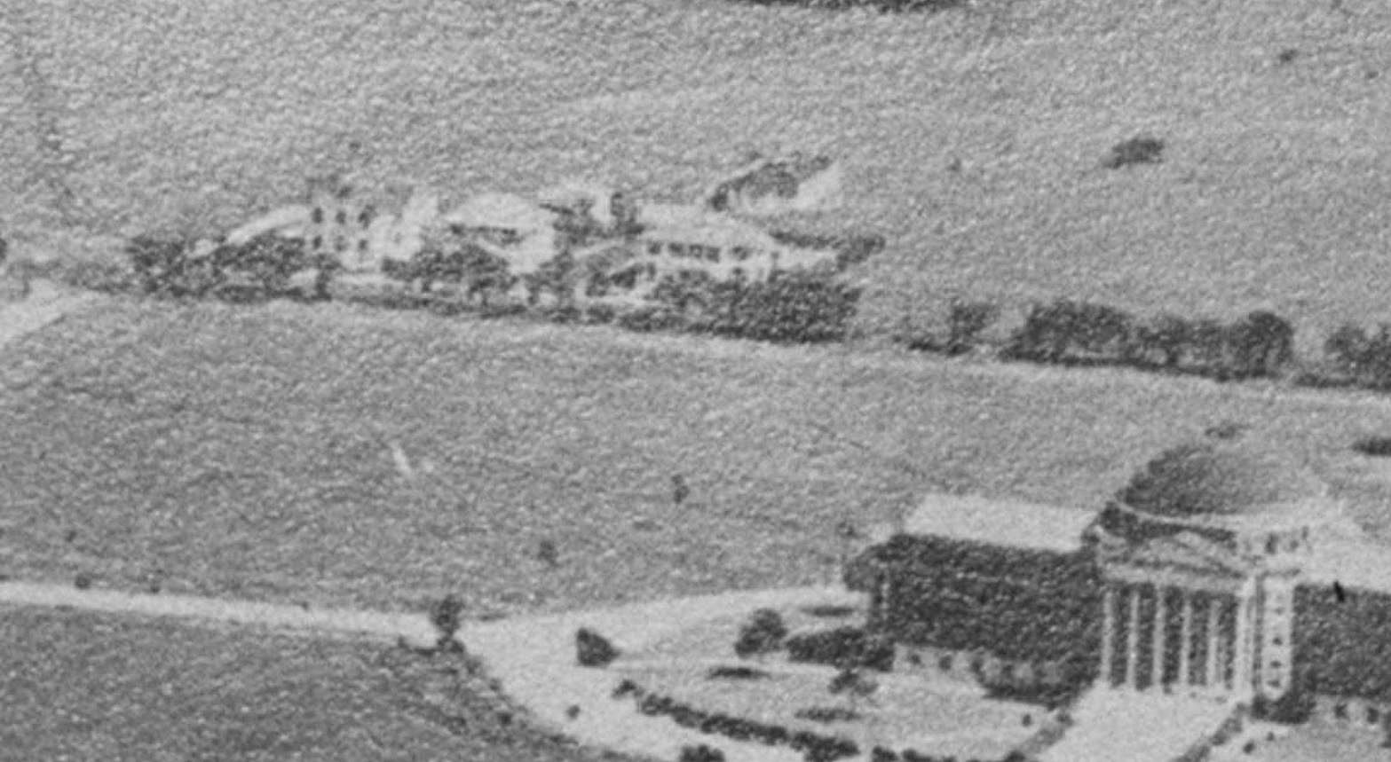
And what are the little houses next to the under-construction stadium? Faculty housing? Fraternity houses? Houses not even connected with the university?
I kinda wish the campus still looked like this.
***
Photo titled “Early aerial view of campus,” ca. 1920s, from the DeGolyer Library, Central University Libraries, Southern Methodist University; it is accessible here.
Zoom in on this photo as much as you can and wander around it — it’s pretty cool. Go here, then slide the magnification bar at the top all the way to the right.
Click pictures for larger images.
*
Copyright © 2016 Paula Bosse. All Rights Reserved.

The Hilltop was out in the country for sure, but only about three miles north of my high school that was built at about the same time that this photo was taken. Nice view Paula. Thanks for the write-up. Hilltop, Class of ’74.
LikeLiked by 1 person
I’d wager that the small rectangle to the right of Airline Rd. in the upper right part of the image is the Daniels family cemetery.
LikeLiked by 1 person