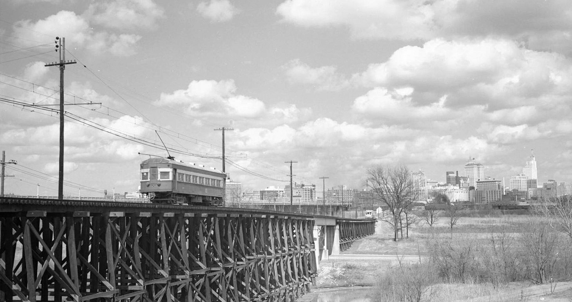
The new streetcar viaduct, 1946
by Paula Bosse
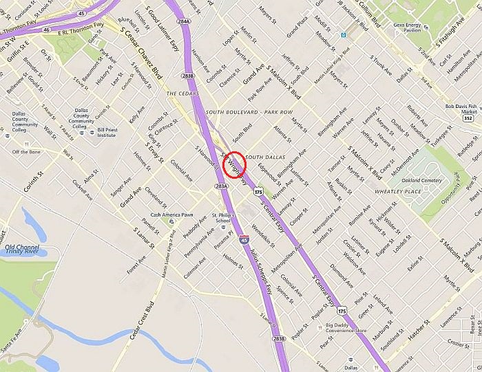
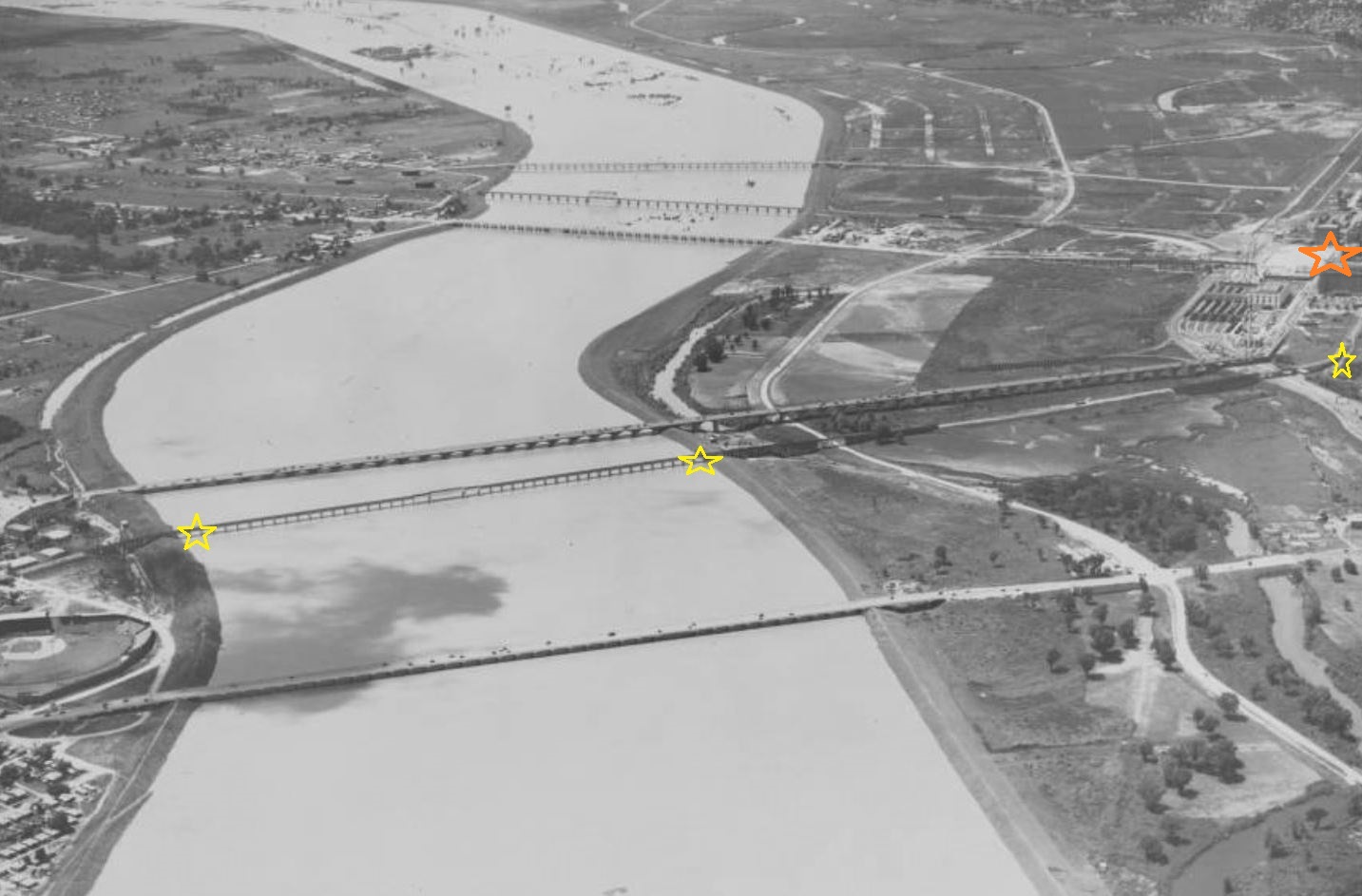
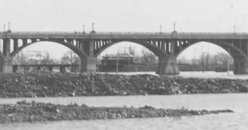
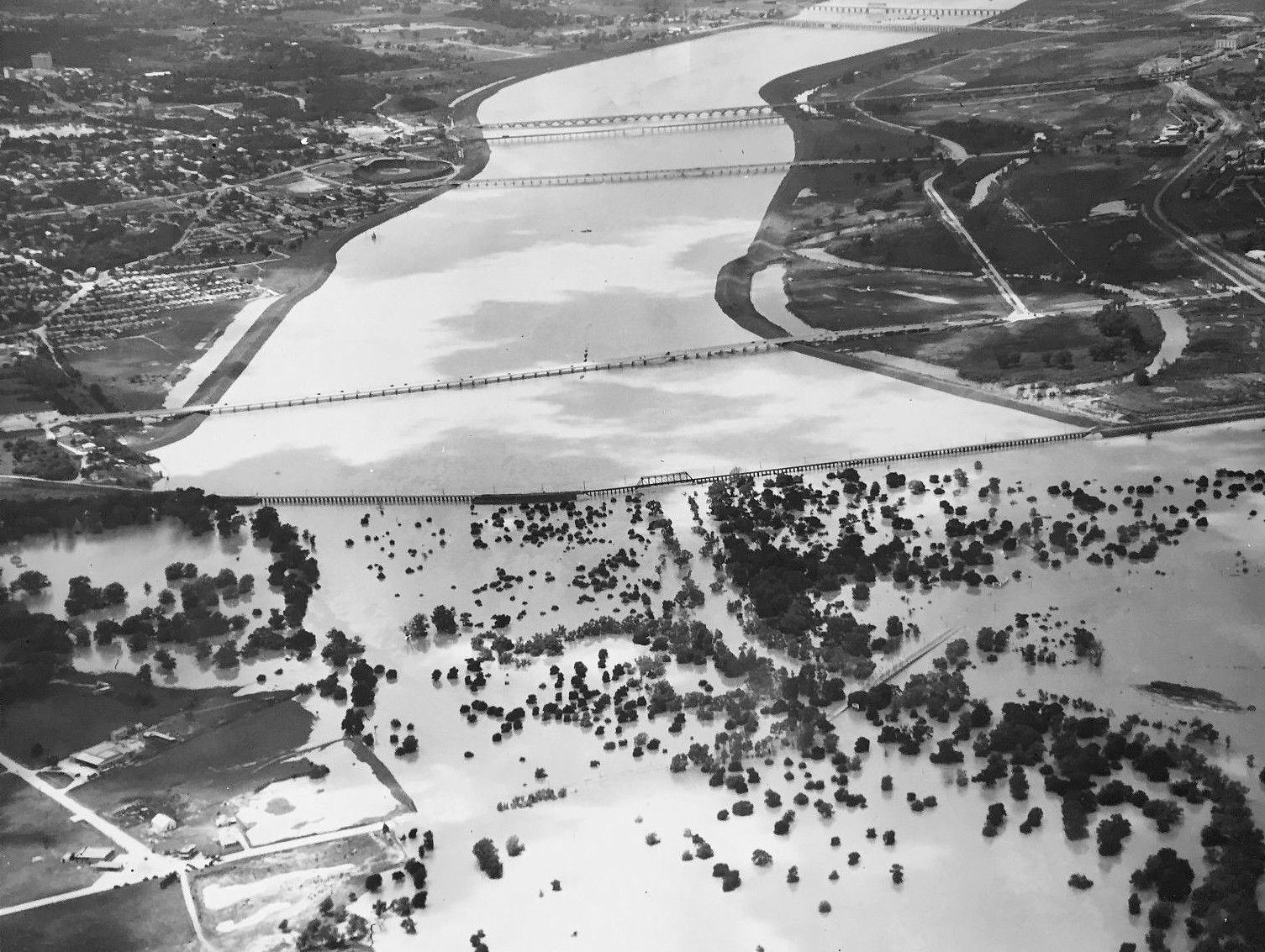
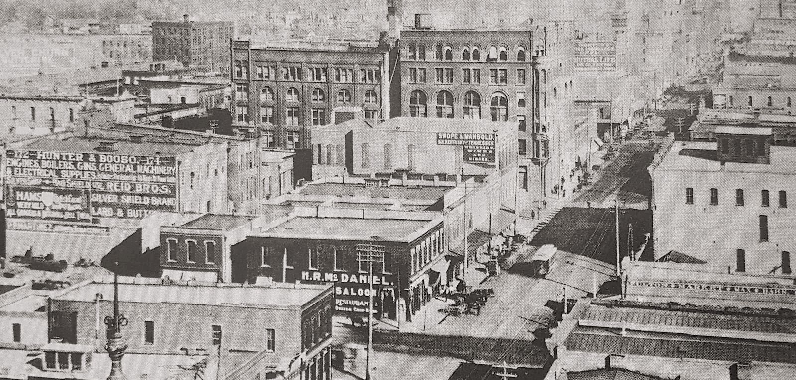
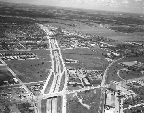
For many, many years there was a special trestle that spanned the Trinity River which was for the exclusive use of streetcars and Interurbans. There were also trestles and viaducts for the exclusive use of trains and automobiles. Below is a photo showing the viaductal activity in 1935, with the streetcar trestle — sometimes called the “Street Car Viaduct” or the “Trinity River Viaduct” marked in yellow and the Old Red Courthouse and Dealey Plaza (then under construction) marked in orange.

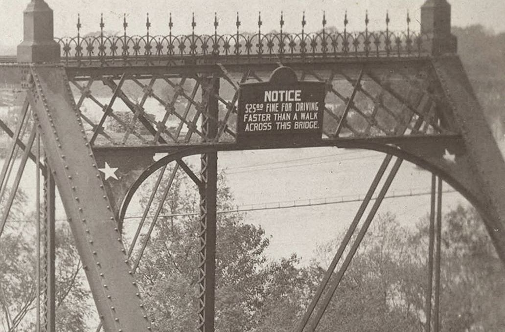
The viaduct immediately above it was the Houston Street viaduct, for automobiles.
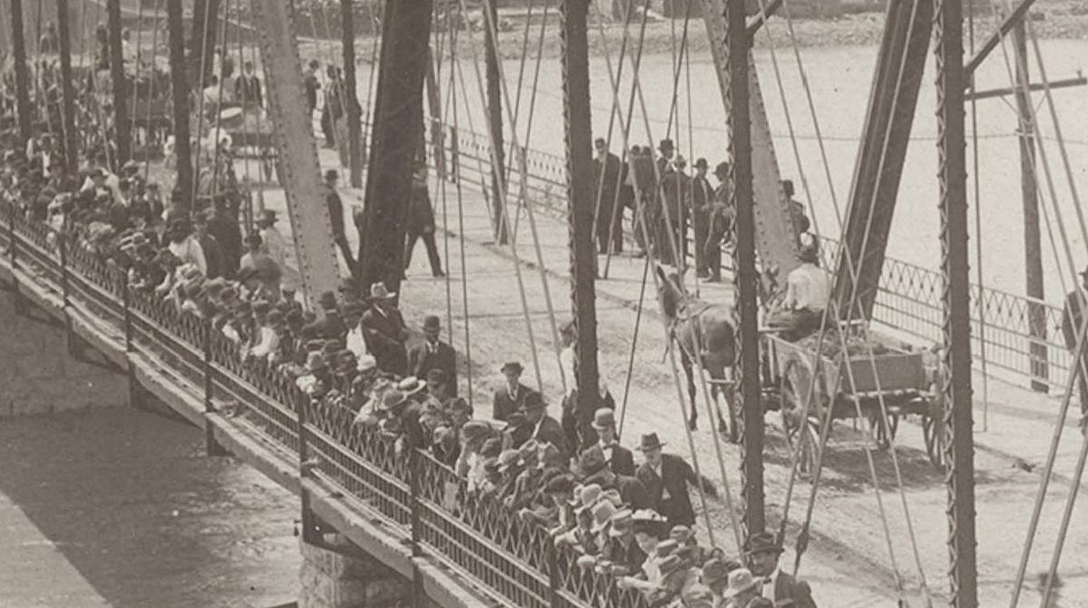
For many, a streetcar ride across the viaduct seems to have been a little on the harrowing side. There were no guardrails to prevent a car from going over the side, and even when the original wooden trestle had been bolstered with stronger materials, it was still described by commuters as being rickety. I like this quote of a man remembering a typical ride in the 1950s:
I always enjoyed the slight tingle of fear I experienced on the trestle over the river, as one could not see the trestle itself from the car window. One had the feeling of being suspended with no support when looking out the window.
And these two memories:
The streetcar trestle ran parallel to the Houston St. Viaduct where the current newer bridge is to downtown. No railings and just depended on gravity to hold the cars on the rails. The cars would buck and sway as they crossed the river bottoms as the motormen made up time on their schedules. Seemed like they were really going fast to me at the time, but probably not in today’s terms.
*
The [newer streetcars] used to scare me to death rocketing across the Trinity River high in the air with no sidewalls except just over the river itself! You were able to look straight down from high above ground… those newer cars had softer springs and the faster they went, the more they rocked side to side over the less than flat tracks!
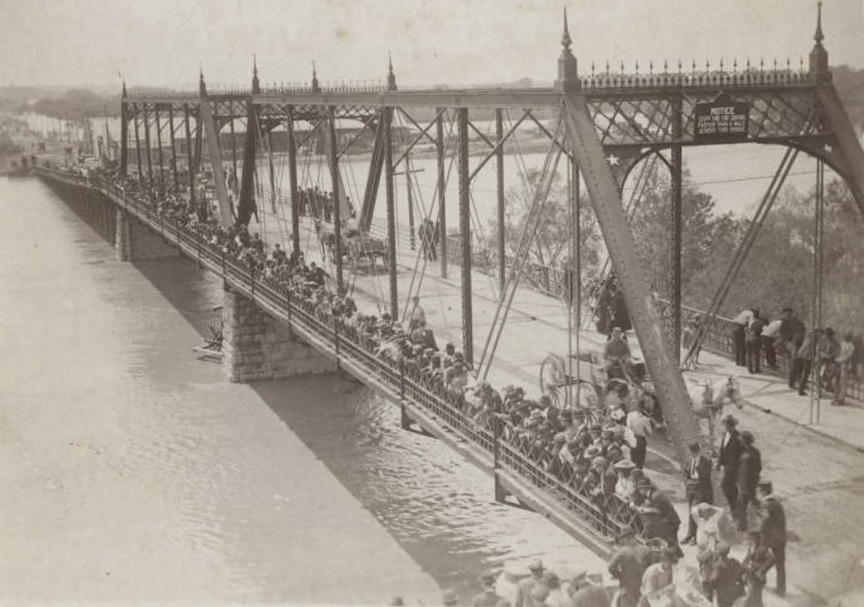
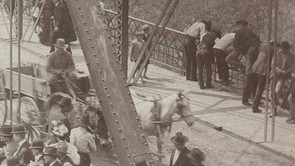
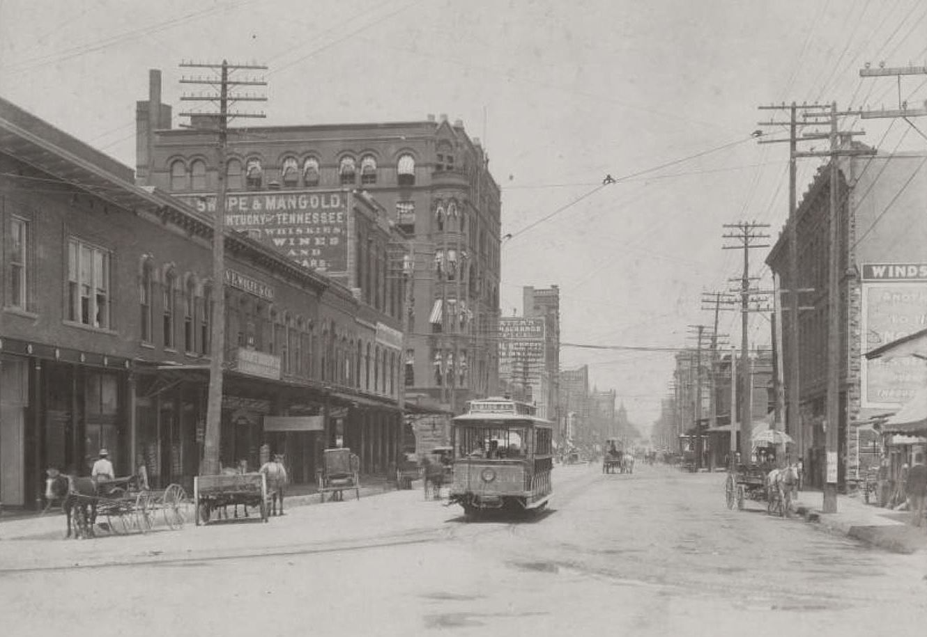
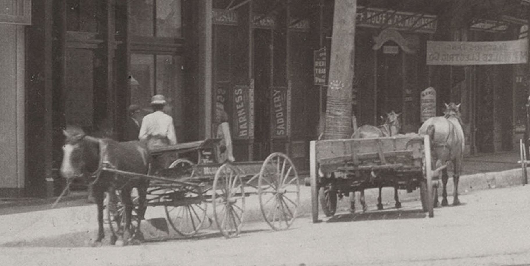
Here’s a photo when it was in its original rickety state, back in 1895 (this is a detail of a larger photo, taken on the Oak Cliff side of the river, with the trestle — and the not-yet-old Old Red Courthouse — visible in the background).
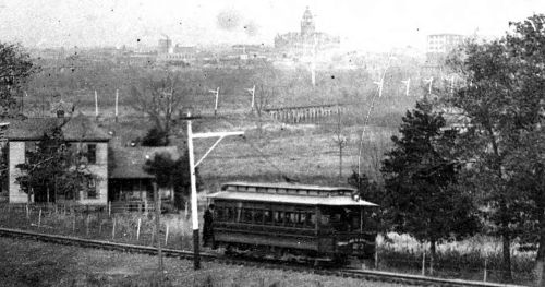
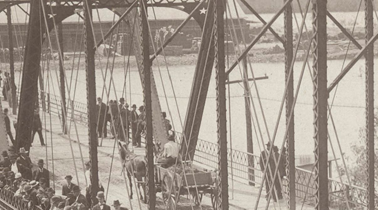
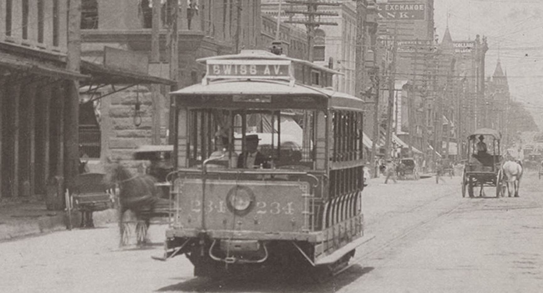
Here it is in 1914 at river-bottom level, with a happy little trolley chugging along with the Oak Cliff/Houston Street viaduct looming over and in front of it. (This is a detail of a larger photo in the George W. Cook Collection, DeGolyer Library, SMU — here).
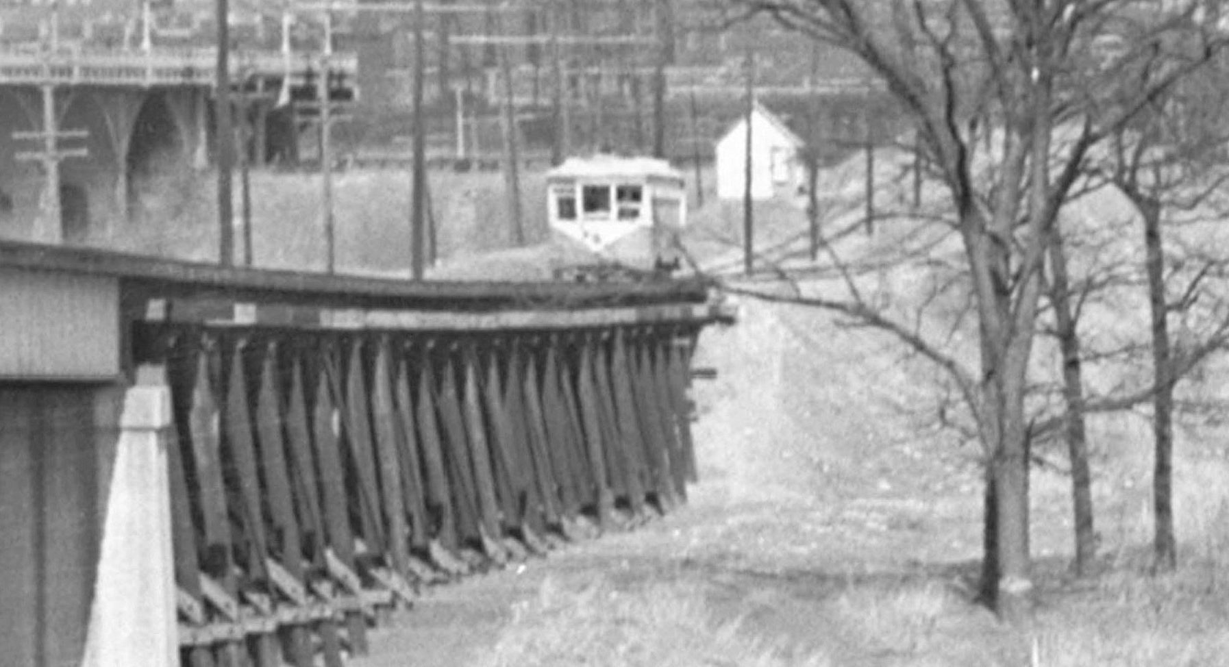
And here’s a sturdier version of the viaduct, in 1946.

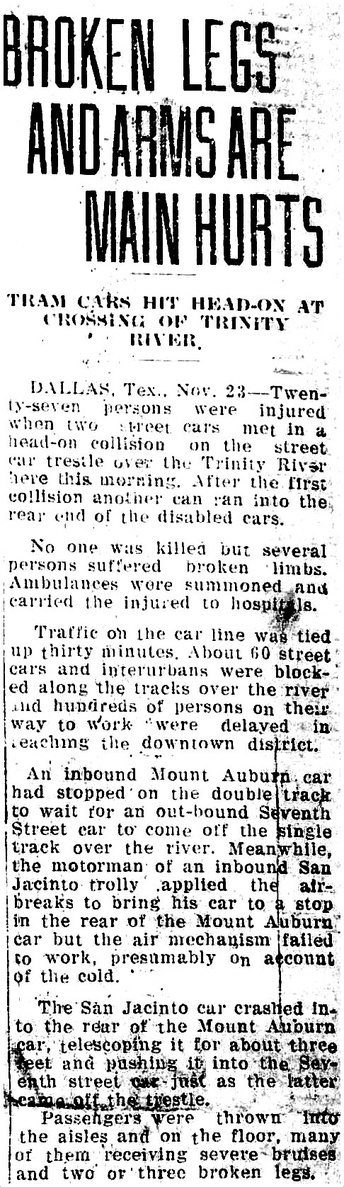
But now to the collision on the viaduct, which happened on the morning of November 23, 1929. Back then — at that iteration of the viaduct — the trestle had only a single track. While one streetcar or Interurban car crossed the bridge toward Oak Cliff, a car wanting to cross over from Oak Cliff had to wait until the westbound car had made its mile-long trip. That must have made for a lot of impatient riders. Even though the so-called “block signal” system worked well for the most part, there were the occasional accidents, including the one involving three cars on Nov. 23, 1929. Below, a front-page report of the collision(s) from The Waxahachie Daily Light (click for larger image).
 Waxahachie Daily Light, Nov. 23, 1929
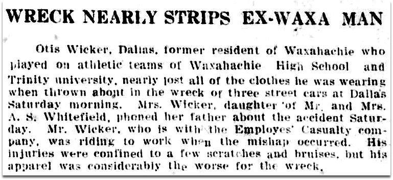
The Waxahachie paper even had a local angle (although it’s unclear just how this man “nearly lost all of the clothes he was wearing”).
 Waxahachie Daily Light, Nov. 23, 1929
Since it happened during the morning rush hour, just about every other newspaper in Texas scooped The Dallas Morning News, which wasn’t able to run its story until the next day (and its report was surprisingly dull).
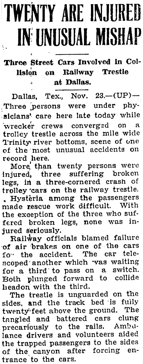
The UP wire story that ran in the Joplin, Missouri paper was far more exciting.
 Joplin Globe, Nov. 24, 1929
Thankfully none of the streetcars fell off the trestle, but I’m sure that possibility was probably the daily fear/resigned expectation of generations of nervous travelers.
**
The most interesting thing in the DMN article is the last paragraph:
Plans in the making for the new street car crossing of the Trinity River call for a double track over the channel, eliminating the necessity of waiting on block signals.
In February 1931, that new double-track streetcar viaduct opened for business, and I’m sure there was a citywide sigh of relief.
**
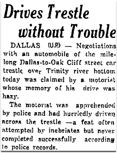
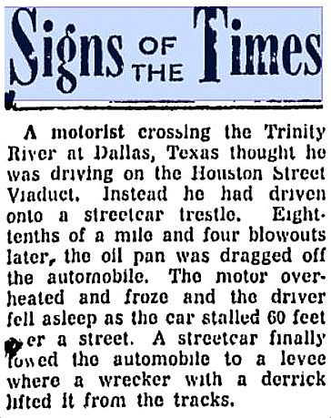
One last little amusing tidbit about this viaduct: it was not unheard of for those having indulged in excessive amounts of alcohol to try to drive their automobiles (either on purpose or by accident) over this already-kind-of-scary trestle intended for electric-powered railway use only.
 Mexia Weekly Herald, Jan. 13, 1933

Beaver Valley (Pennsylvania) Times, Dec. 8, 1952
***
Sources & Notes
Top photo titled “T. E. clouds, sky, city, from east levee close to wooden trestle 320 just passed, at rear, car 320 on Trinity River Bridge, Dallas, Tex.,” taken on Feb. 16, 1946 by Robert W. Richardson, is from the Western History/Genealogy Dept., Denver Public Library.
Photo showing the viaducts across the Trinity is titled “Central Levee District,” taken on May 20, 1935 by Lloyd M. Long, from the Edwin J. Foscue Map Library, Southern Methodist University; the labeled photo is here, the unlabeled photo is here.
Don’t know what “block signaling” is? Wikipedia to the recue.
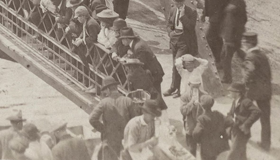
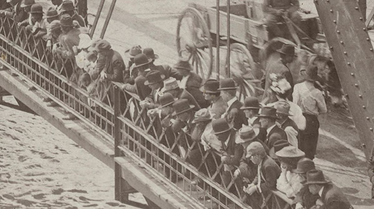
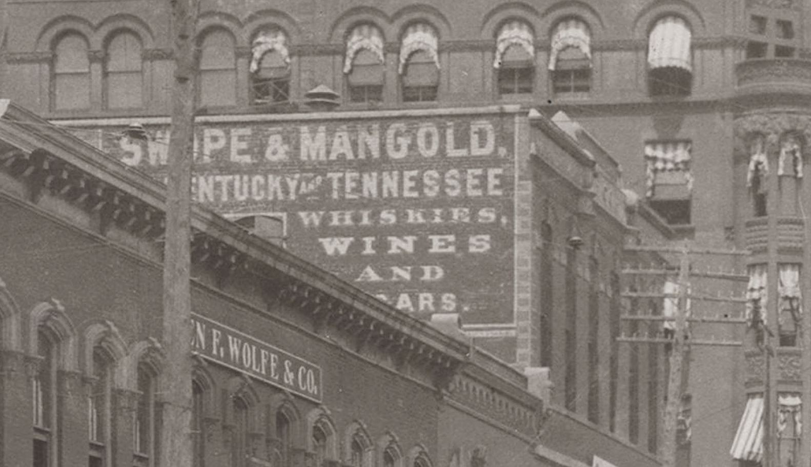
Lastly, just because I like it, a magnified detail from the top 1946 photo, showing a streetcar at the downtown end of the viaduct.

*
Copyright © 2016 Paula Bosse. All Rights Reserved.

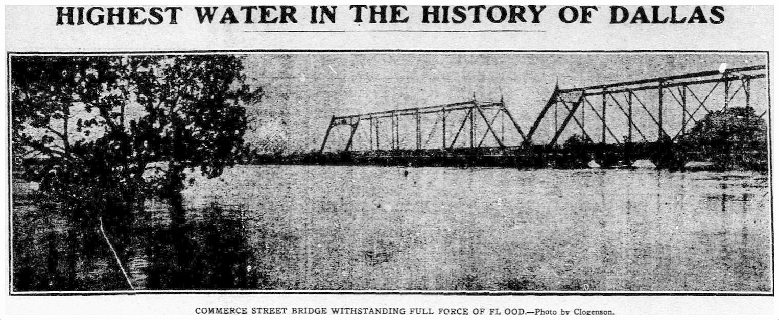
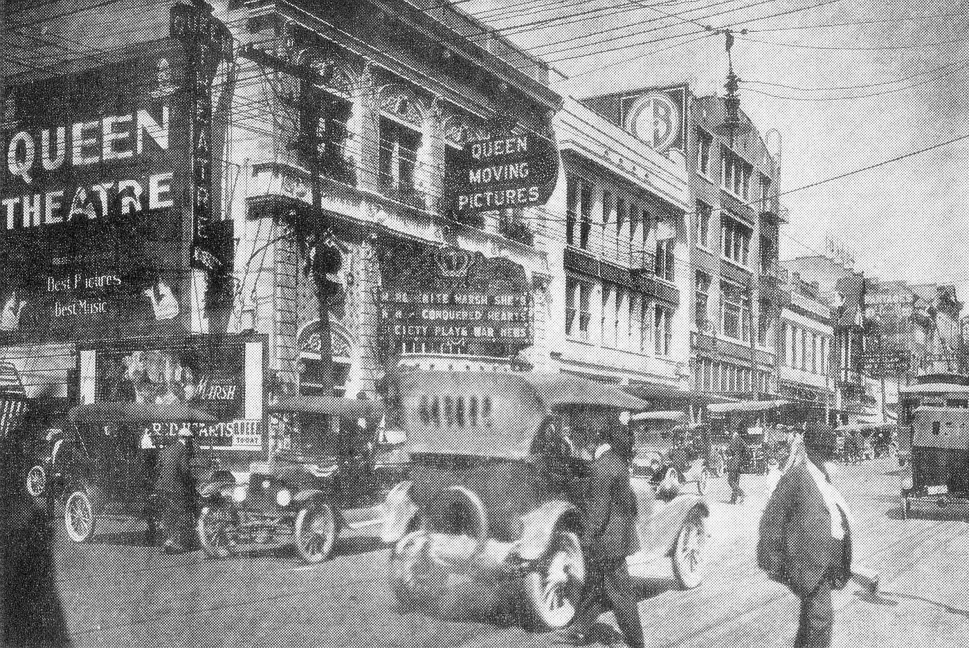
 April 20, 1908… (click for larger image) / SMU
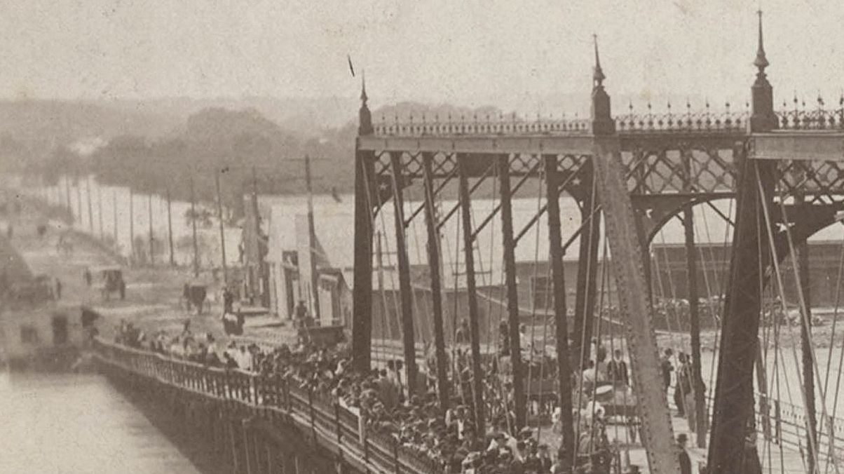

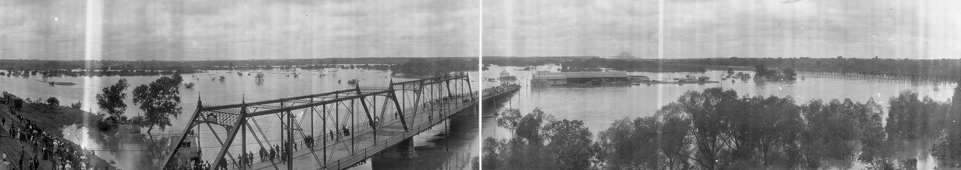
 June, 1908
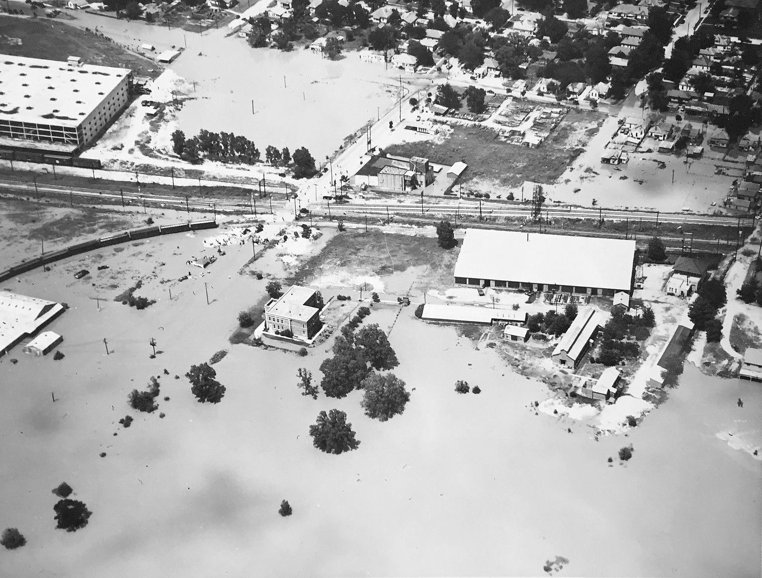


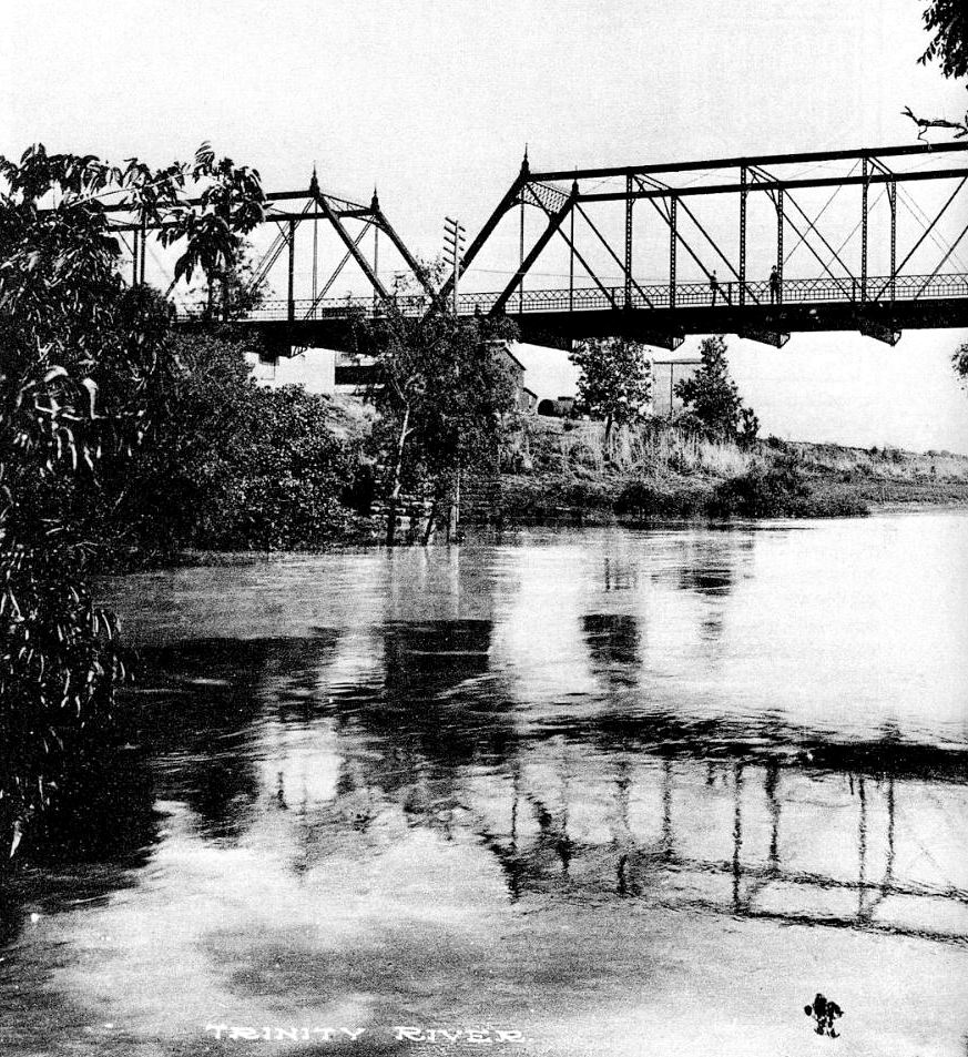
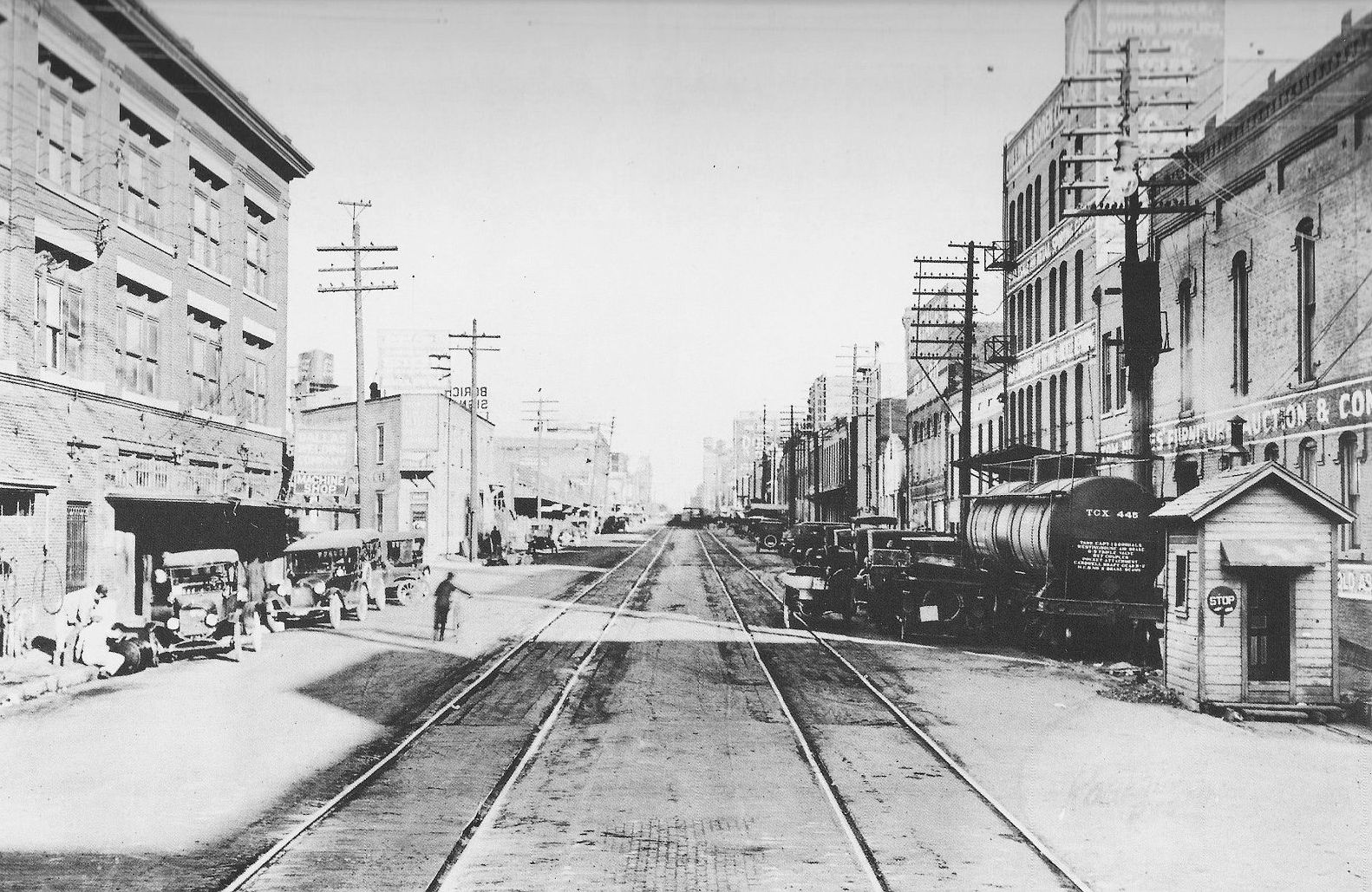
 Squire Haskins, UTA Special Collections
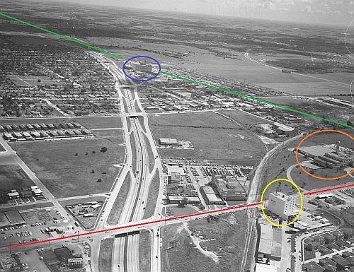


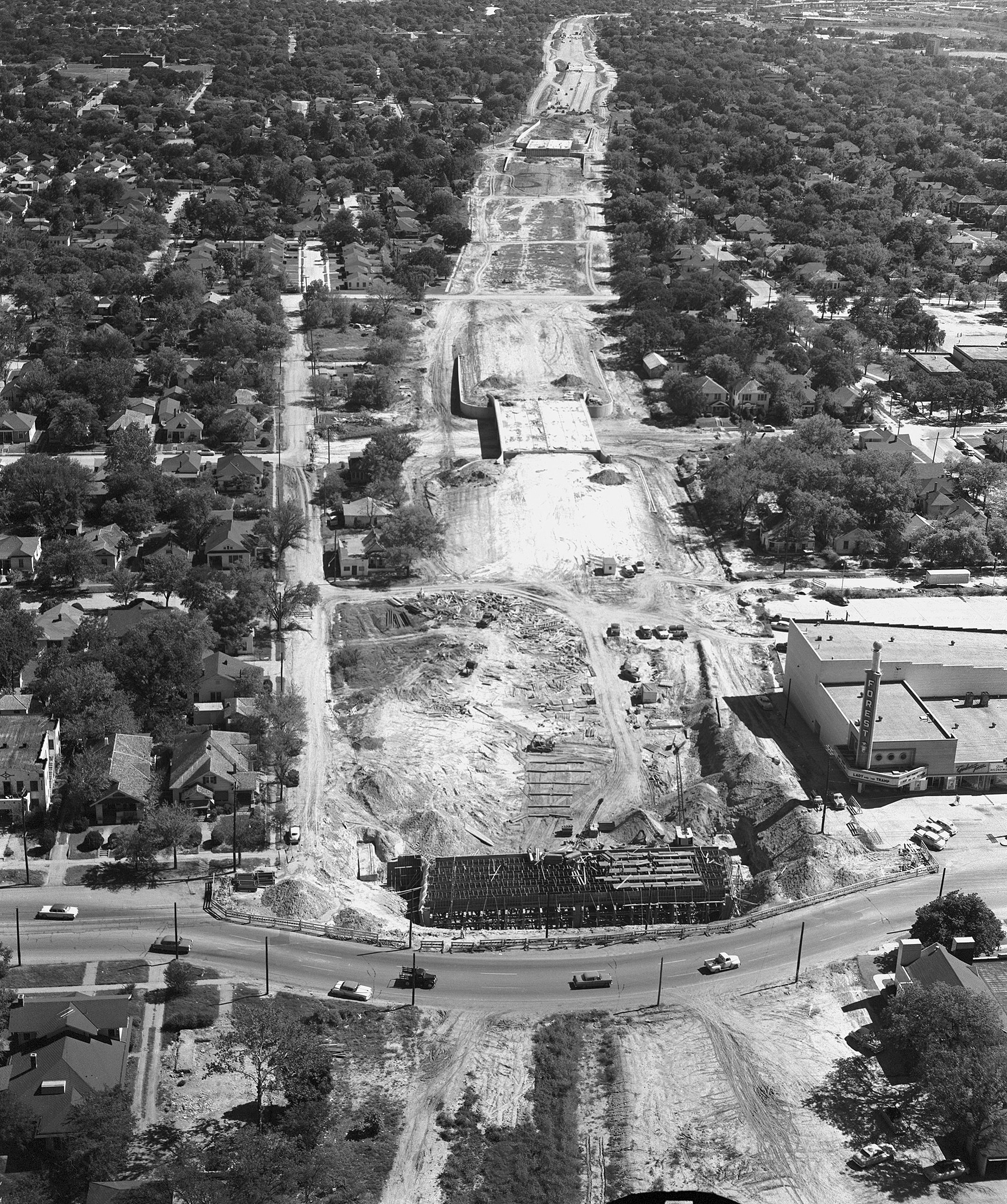
 Squire Haskins, Nov. 1955, UTA Special Collections